
V P John ( Upputhara Block Division Member 9447535196 )
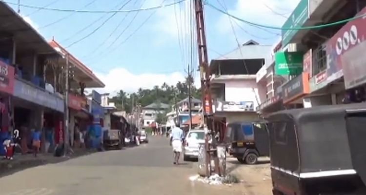
Upputhara block divison in idukki district in the state of keala Upputhara panchayat and , belonging to the block panchayat of kattapanap, is situated in the southern part of idukki district in the peermade taluk. The panchayat is bordered by the periyar River in the east, the Meenmutti Lake in the west, the Chinnar River and the Karintharuvi River in the south and the Kakkathode protected forests in the north. Upputhara is located in the Western Ghats region of Kerala that borders on the neighbouring State of tamil nadu . Geographically, Upputhara is divided into six types of land forms; mountains, highly steep land, moderately steep land, valleys ,marshy lands and rocky lands. Of these six land forms, about 40 percent of the total area is classified under valleys. Next in importance are marshy lands, slightly steep land, mountains, very steep land and rocky lands, in that order. Valleys and marshy lands together accounted for 62 percent of the area.
The panchayat comprises an area of 135 km2. As of 2001 India census, Upputhara had a population of 20596 with 10292 males and 10304 females.[1] Scheduled castes formed about 15 percent of the population in that year. There was a sizeable population of catholic christians in the panchayat who played a major role in its social life.